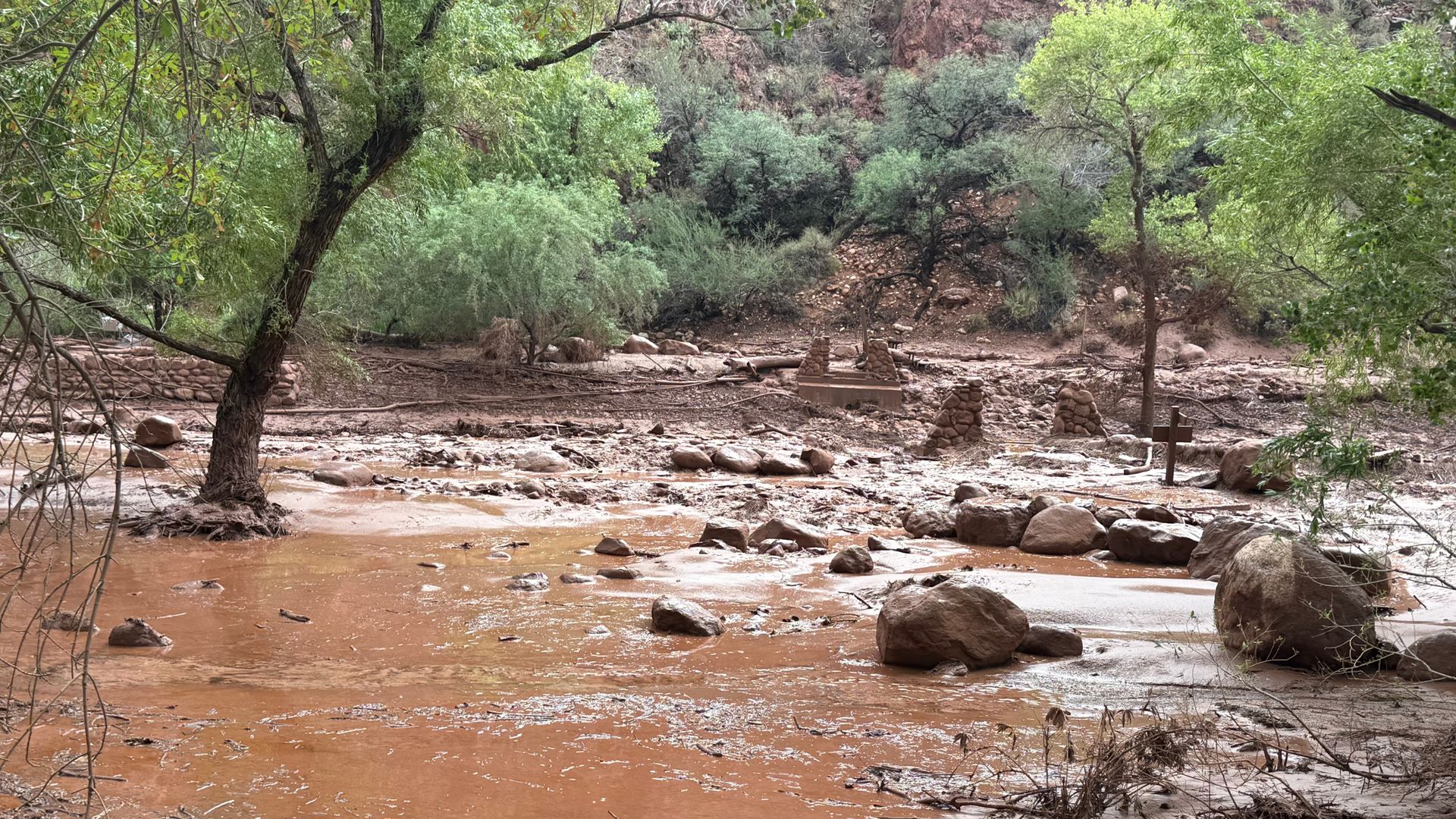
Rapid hydro-meteorological events within canyon geomorphology create distinct hydraulic hazards that traditional emergency response models fail to mitigate effectively. When intensive precipitation strikes the Colorado Plateau, runoff funnels rapidly through narrow drainage basins, transforming dry arroyos into high-velocity torrents within minutes. Understanding the mechanics of these events requires examining topographic constraints, meteorological triggers, and operational constraints inherent to remote wilderness rescue.
The Hydraulic Mechanics of Slot Canyon Floods
Topographic amplification is the primary driver of flash flooding in the Grand Canyon region. Permeable soil layers are sparse across sandstone and limestone plateaus, resulting in high surface runoff coefficients. When convective storms drop intense rainfall over a mesa top, thousands of acres of sheet flow converge into narrow tributaries.
As water enters constricted channels, cross-sectional area decreases sharply. According to the continuity equation of fluid dynamics, velocity must increase proportionally to maintain discharge volume. A surge entering a narrow gorge accelerates violently, carrying debris, boulders, and uprooted vegetation that act as kinetic battering rams.
The time lag between precipitation onset and peak discharge depends on catchment area basin morphometry and antecedent soil moisture. In arid environments, dry soils often exhibit hydrophobic crusts during initial rainfall phases, accelerating surface runoff rates. Visitors inside tributary slot canyons frequently experience zero warning because the meteorological trigger occurs miles away on the plateau above, completely invisible from the canyon floor.
Emergency Response Operations and Search Bottlenecks
Search and rescue operations in remote canyon environments face severe logistical friction. Communication infrastructure across the Grand Canyon is severely limited by deep shadows and sheer rock walls, rendering standard cellular devices useless and forcing reliance on satellite-based transceivers.
Deployment of rescue assets follows a strict operational hierarchy constrained by mechanical limitations:
- Aerial reconnaissance via helicopter is restricted by high wind shear, narrow canyon walls, and restricted visibility during active storm cells.
- Ground teams must navigate treacherous, debris-choked washes on foot, slowing insertion times significantly during active emergency phases.
- Swiftwater rescue specialists face extreme hazards from floating debris and turbulent hydraulic recirculation zones unique to confined bedrock channels.
This operating environment creates a high-risk scenario where extraction windows are measured in minutes, yet logistics require hours to mobilize. Search patterns for missing individuals in fast-moving water must account for downstream deposition zones, sweepers, and undercut banks where bodies or survivors become trapped by hydraulic pressure.
Risk Mitigation and Strategic Infrastructure Limitations
Land management agencies employ various warning systems, including automated stream gauges and quantitative precipitation forecasts issued by the National Weather Service. However, spatial resolution remains a critical failure point. A weather radar beam may overshoot localized convective cells, or the grid may lack the precision to predict which specific minor drainage will experience a flash flood.
Physical hardening of remote wilderness trails against hydrological hazards is largely impossible without destroying the natural state of the park. Consequently, risk mitigation shifts entirely to administrative controls, permit gating, and traveler behavior modification.
Visitors navigating backcountry corridors must evaluate dynamic weather indicators independently. Monitoring radar trends before descent, identifying escape routes above high-water marks, and avoiding narrow slot canyons during monsoon advisories are the only reliable defenses against catastrophic hydraulic events. When structural warning systems fail to cover micro-basins, survival depends entirely on real-time situational awareness and the immediate abandonment of low-lying terrain at the first sign of upstream cloud build-up.
Deploy regional tactical sensor arrays in high-risk tributary zones to feed real-time telemetry directly into emergency dispatchers' dashboards, thereby reducing the latency between precipitation detection and backcountry advisory dissemination.